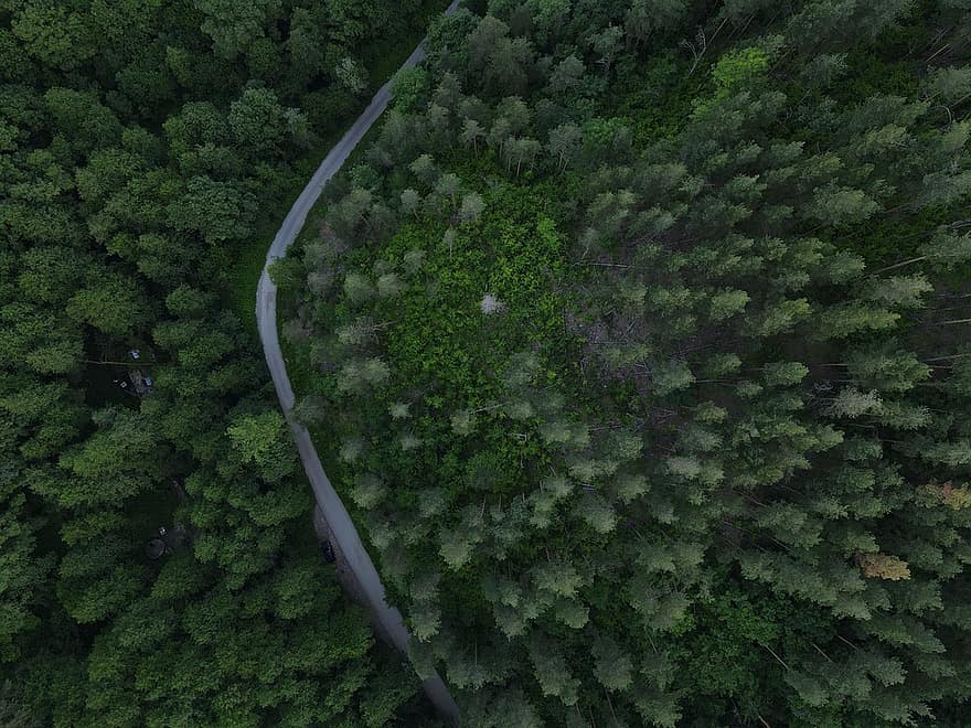
Drone Services Topographic Survey Mapping
Drone Services Topographic Land Survey Mapping
At Drone Survey Canada, we are proud to offer accurate mapping solutions produced from 2D aerial images. If you require an Topographic Map for an upcoming project, we can provide you with an accurate Map.
Our Drone Data Processing Software constructs a 3D map, geodetic if you require.
- Residential Land Development
- Commercial Land Development
- Volume Analysis and Draw Reference Points and Break Lines
- Drainage Elevation Survey
- DTM, DEM
- Centimeter Level Resolution
If you would like to know more about producing accurate Drone Topographic Surveys and Mapping for your next project, contact us at Drone Survey Canada.
Drone Services Toronto, Drone Services GTA, Drone Services Barrie.