Construction & Development
Drone Survey Canada offers the following solutions for your construction and development projects:
- Drone Construction Site Images & Video
- Drone Orthomosaic Mapping
- Drone Topographic Survey
- Drone Cut and Fill Quantity Reports
- Drone Corridor Mapping
- Drone GIS Data
- Road, Rail, and Utility Inspections
- Environmental, and Landfill monitoring
- Zoning and Bylaw Compliance
- Natural Disaster Assessment
- Flood Plain Mapping
- Municipal Drain Inspection and Planning
- Pre-construction Planning
- Construction Project Monitoring and Tracking
- Asset Management Data Collection
Drone Survey Canada offers the following solutions for your construction and development projects:
- Drone Construction Site Images & Video
- Drone Orthomosaic Mapping
- Drone Topographic Survey
- Drone Cut and Fill Quantity Reports
- Drone Corridor Mapping
- Drone GIS Data
- Urban Planning and Corridor mapping
- Road, Rail, and Utility Inspections
- Environmental, and Landfill monitoring
- Zoning and Bylaw Compliance
- Natural Disaster Assessment
- Flood Plain Mapping
- Municipal Drain Inspection and Planning
- Pre-construction Planning
- Construction Project Monitoring and Tracking
- Asset Management Data Collection
6 Ways Drones Can Be Useful on Construction Sites
Monitoring
Construction site monitoring is the most common use for drones on active sites. With weekly, bi-weekly or monthly site visits you can obtain high resolution photography and video allowing you to “be on site” even when schedules prohibit.
Survey
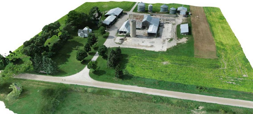
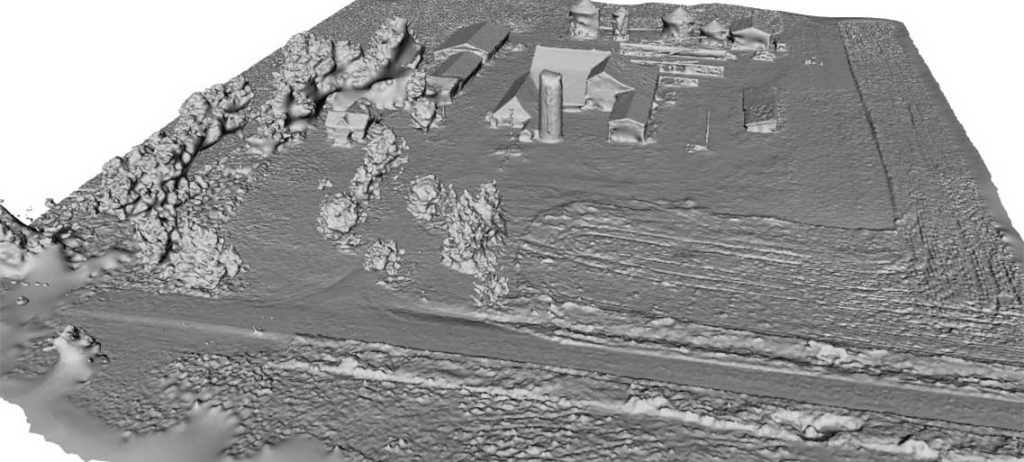
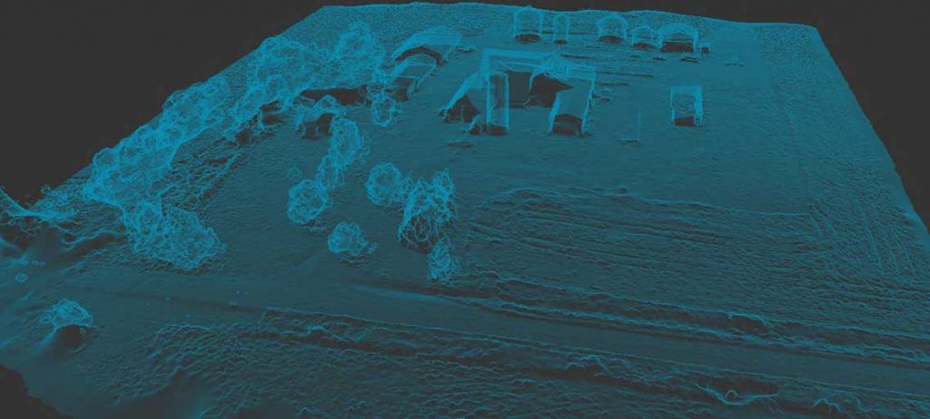
GIS is a rapidly changing technology thanks to drone technology. We can now do in days what used to take weeks via manned aircraft. Our team arrives onsite and collects aerial imagery without any disruption to daily activities. Using Autodesk Recap Pro we can deliver .point cloud files to your engineers with accuracy ratings in the centimeters. (Photogrammetry:+/- 10cm bare earth, +/- 30cm wooded area)
Progress Reports
Staying connected to your investors is vital. With monthly progress reports via photo and video collection you are sure to impress.
Inventory
Keeping track of equipment within a site of any size can be a challenge. Using photogrammetry and Recap Pro you can accurately inventory an entire site from the office using a computer rather than wasting hours navigating the construction site.
Volumetric
It is important to know how much material will be entering and leaving your site. That is why accurate volumetric estimations can be critical. Knowing how much material you have in your stockpiles can save time and money.
Structure Integrity
Allowing a drone to take stock of the quality of your concrete pours and elevations setup is not only safe but practical. Documenting and inspecting for weaknesses cannot only help eliminate potential future problems it can also save millions in the event of litigation.