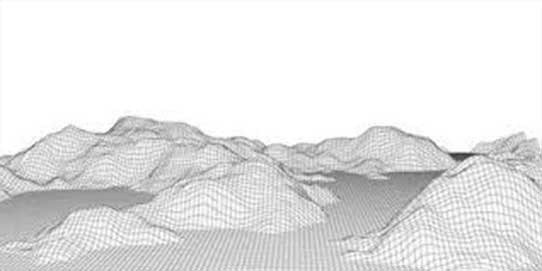
Digital Elevation Model
Drone Services in Canada
Faster, More Accurate, and Safer Topographic Models
If you are looking for a reliable and accurate way to collect data for Digital Elevation Models in Canada, turn to us at Drone Survey Canada. Although there are many ways you can capture data, using Unmanned Aerial Vehicles (UAVs) for this purpose is a perfectly accurate method. Additionally, the use of these vehicles is extremely cost-effective when compared with other data collection methods.
When you allow us to collect data for the purpose of helping you create a digital elevation/surface model, we will create a unique flight mission for your project and upload it into one of our state-of-the-art vehicle’s autopilot systems. Then, the vehicle will fly over the pre-specified terrain and capture data using an innovative sensor. After the mission is complete, the images collected by the UAV will be matched with a corresponding data file to ensure every image has accurate GPS data attached to it.
- DTM Models
- ARCGIS Ready
- Ortho, Site Plan, & Contours
- Visual Vs Point Cloud Comparison
- 1 Meter Contours, Customized Contours
- Topographic Survey
- Tile Drain Plan + Ortho
- 3D Volume Analysis
- Break Line and Point Grid 2 Meters or Less (if required)
- Slope Map
If you would like to know more about our aerial imaging services and our drone services in canada, Barrie, Toronto and GTA and why our methods will help you create a successful Drone Topographic Model, please reach out to us at Drone Survey Canada today. We look forward to hearing from you and to meeting your aerial image and data collection needs.