Civil Development Consulting & Construction Services
Drawing Preparation
Need Civil or Residential drawings and or tender documents for your project Drone Survey Canada provides top class services for your next construction project.
Whether you have a Subdivision or Site plan our CAD specialist can provide precise drawing and tender preparation.
Tender Verification
Drone Survey Canada can provide your construction project real time quantity and quality confirmation with video evidence. Realtime cut/fill number confirmation.
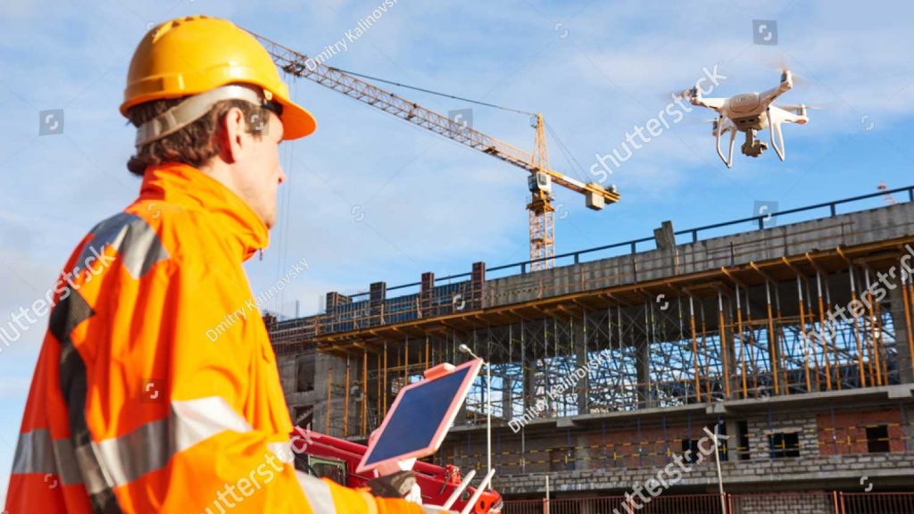
Corridor Mapping, Road Mapping and Industrial Inspection
With a geo-referenced map, areas and objects can be easily measured and quantified with drones, which otherwise would take a ground survey team several days to cover. Need a Haul Route Surveyed with video production.
Architects, construction site owners, mining engineers, infrastructure professionals, and more can be potential customers for a drone inspection business.


Drawing Preparation
Need Commercial or Residential drawings or tender documents prepared for your project Drone Survey Canada provides top class services for your next construction project.
Whether you have a Subdivision or Site plan our CAD specialist can provide precise drawing and tender preparation.
Tender Verification
Drone Survey Canada can provide your construction project real time quantity and quality confirmation with video evidence. Realtime cut/fill number confirmation.
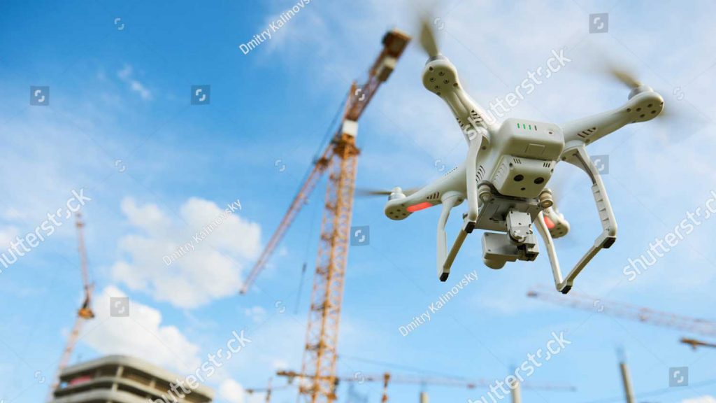
Corridor Mapping, Road Mapping and Industrial Inspection
With a geo-referenced map, areas and objects can be easily measured and quantified with drones, which otherwise would take a ground survey team several days to cover. Need a Haul Route Surveyed with video production.
Architects, construction site owners, mining engineers, infrastructure professionals, and more can be potential customers for a drone inspection business.
Subdivision and Site Plan
Site Progression
Watch your project transform before your eyes. Using Drone Survey Canada to undertake progress shots across a construction site allows you to keep tabs on progress, hold accountability, audit supplies/equipment, and keep any 3rd party up to date with progress. We ensure all work in the vicinity of the building exterior at regular intervals to provide a permanent, inspection grade photographic record of construction progress. Progressions are performed weekly, bi-weekly, or monthly generally coordinated with pace of progress.
3D Topographic Models
With the advent of rapid data acquisition via photogrammetry and cloud point technologies, it is now possible to quickly use the data as a guide to build true interactive 3D environments. This is particularly helpful where old structures need remedial work or are being upgraded and there is no design drawings available.
Precision Land Survey
Drone Survey Canada delivers aerial mapping and land surveys providing topographic data as well as high-resolution aerial photography. We provide complete visual information and topographic data required to improve decision-making while reducing costs, saving time, and improving safety. Large areas can be surveyed up to 50 times faster than traditional methods.
Precision Inspection
Drone Survey Canada provides real-time high-resolution images and videos. It is a powerful and non-invasive tool that identifies and locates the problems, detect what needs to be fixed and ultimately it saves you valuable time and money through the detection of faults before real problems occur.